Ordesa y Monte Perdido National Park "PLUS" 4 days

We present 4 routes Hiking, of medium / high difficulty with slopes of up to + 800mts -1300mts, designed for the most demanding hikers who want to know the environment of the National Park of Ordesa and Monte Perdido by paths and paths of barios of the valleys of the same one and of its peripheral zone and where we will use in more than one occasion vehicles 4 × 4 for approaches to high areas and restricted access tracks.

Know the secrets and the history of these places as well as the importance of these and their ecosystems at the hands of our guides.

circular turn otal valley and ordiso trekking

LEVEL Between +800 and -1300 m depending on the day.
DURATION 4 hiking days with option to put a day of rest in between.
PERNOCTA Routes 1 day, every day returns to the village.
DATES From May to November.
BUSINESS HOURS Morning and afternoon.
PLACE Ordesa y Monte Perdido National Park, Ordesa Valley, Añisclo Canyon and Bujaruelo Valley.
MINIMUM GROUP 5 people minimum. CHECK RATES BY GROUP

What's included?

  • Information, organization and management of the activity.
  • Sports Technician in Medium or High Mountain.
  • Small and dynamic group.
  • Discount in other activities.
  • CR and Accident insurance.
  • 21% VAT
  • Do not include any other unspecified concept
  • Does not include accommodation
  • Does not include transportation except the taxis for Bujaruelo, (ask possibility of transfer to Nerin)

What do you need to bring?

  • You need proper clothes and footwear
  • It is advisable to bring canes
  • To make the reservation, an economic income of 40% of the total must be made.
  • Rest of the payment 24h before the development of the same.
  • GENERAL CONDITIONS
  • It is ideal to approach the previous day by the company, we will meet you and we will show you a full report of the activity and we will solve any doubt that may arise.
  • Registration and Insurance.
  • Presentation of the Guide.
1

DAY 1.Valle de Bujaruelo, Tour of the Ordiso Valley to the Otal Valley

El Bujaruelo Valley It is one of the most beautiful peripheral areas of the National Park that offers many different routes. This valley is born at the foot of the Vignemale, the highest mountain in the French Pyrenees and at his feet the River Ara. For this route we will enter with our vehicles 4 × 4 to Ordiso's Cabin 1600mts.

Guided route that runs through the valleys of Ordiso and Otal, by mountain paths and pastures that will take us to the 2200mmts to enjoy beautiful views of the massif of Vignemale, the Tendeñera, Pico de Otal, Puerto de Bujaruelo, the Gabietos, etc.

A paradise of flowers in spring where we can enjoy varieties of orchids, buttercups, Iris or even some Edelweis, of the nice marmots and where depending on the time we will see the Lilium Martagon and even Lilium Pirenaicum, until you reach San Nicolás de Bujaruelo 1300 metres.

Distance: 16km approx.
Duration: 40min in 4 × 4 to the Ordiso cabin, normally 6/7 without counting stops, 25min by car from San Nicolás de Bujaruelo.
Slope: + 600mts, -900mts

2

DAY 2. Valley of Ordesa, the Horsetail by Senda de los Cazadores and the Pelay Belt

A classic and indispensable route to know the magnitude of PN and the Ordesa Valley. This time we propose it for the Path of the Hunters and the Pelay Belt.

We will enjoy and know the Ordesa Valley from its high part and from the bottom of the valley. The Path of the Hunters, is a road that is rapidly gaining height in a constant zigzag until reaching the 1980mts in the Viewpoint of Calcilarruego where we will have incredible views on the walls of the Gallinero, La Fraucata, the Cotatuero Circus and all Ordesa Valley from the heights. From there we take a path that runs through the Faja Pelay between black pine that shows us views on the Roland gap or Taillon for example and where we will see several of the alpine plants and flowers of our Pyrenees as Azaleas, Alpina Pingüicula, Edelweis, or the Yellow Gentian... Through him we will reach Circus of Soaso and the Horse tail with views on the Monte Perdido, Soum de Ramond (or Pico de Añisclo) and the Torre de Goriz. The return we made it through the bottom of the Valley enjoying the Grada de Soaso, the Beech Forest, the Cascadas del Estrecho and the Cueva to reach the Meadow of Ordesa. Lovely route to discover the Ordesa Valley and the high areas of the PN in the company of our guides

Distance: 20km approx.
Duration: 7 or 7,5h normally without counting stops.
Slope: + 750mts, -750mts

3

DAY 3. Añisclo Canyon. The Mondoto-Cuello Arenas

This time we will meet another of the 4 valleys of the National Park, Canyon of Añisclo, but we will know it from "the heights". We will travel by car until Nerin (45min from Torla). Once there by a path that runs through low forest, we will gain height with views of the Sestrales and Peña Montañesa until the scrub forest is transformed into tall grass and we are reaching the high plains of the area. Once there we will approach the "prows" of the Canyon of Añisclo until the Mondoto 1965mts right in the cut of the Canyon and with spectacular views of it (1100mts wall under our feet), and the most important peaks in the area, Tres Sorores (Monte Perdido, Cilindro and Soum de Ramond or Pico de Añisclo). From there we will go towards the plains of the Estiva until you reach Neck Arenas from where we will begin to descend towards Nerin.

Distance: 17km approx.
Duration: 5h normally without stops plus 45min one-way car and others back.
Slope: + 650mts, -650mts

4

DAY 4. The Cebollar

El Cebollar It is one of the unknown areas of the place perhaps because of its access. In this case we propose the route with an approximation in 4 × 4 vehicle from Torla to Collada del Cebollar, to 1900mts. From this point we will start the journey on foot.

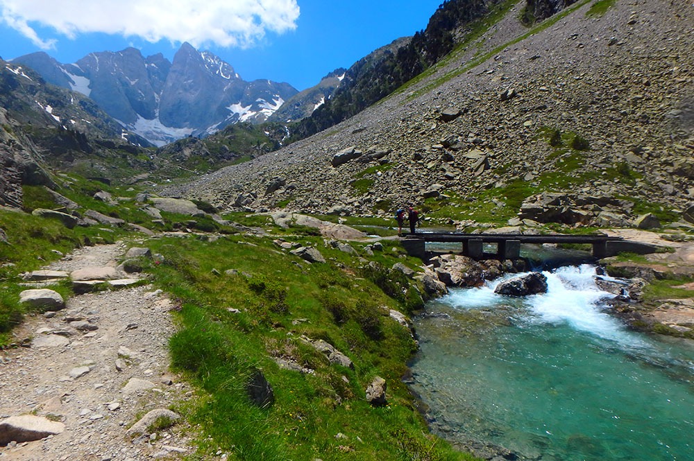
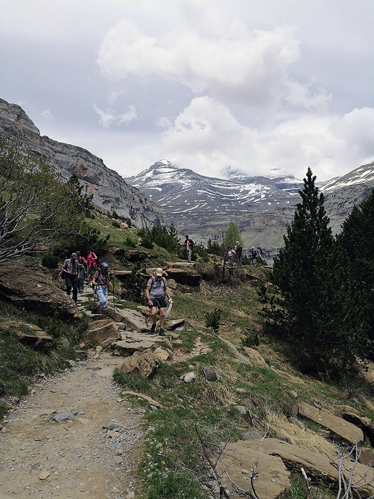
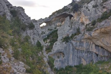
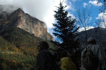
The area of the Cebollar, is a place that combines spectacular frontal views on the Ordesa Canyon, about the 3000s of PN. As the Monte Perdido, Gabietos, Cylinder, etc, and of other large surrounding mountains such as Massif del Vignemale, Pico de Otal or Tendeñera, with the added interest of being able to observe raptors and scavengers such as Lammergeier, the Griffon Vulture, Kestrels, Sparrowhawks or the Golden Eagle. Accompanied by one of our guides, we will begin to ascend through a grass cordal to the top of the Tozal de las Comas 2340mts enjoying the views to the highest peaks of the place and from where our guides you can easily interpret with the views, the training geological of the Pyrenees and the Valley of Ordesa with its glacial formations and all its secrets. We will reach the top in 1h 30min approx.

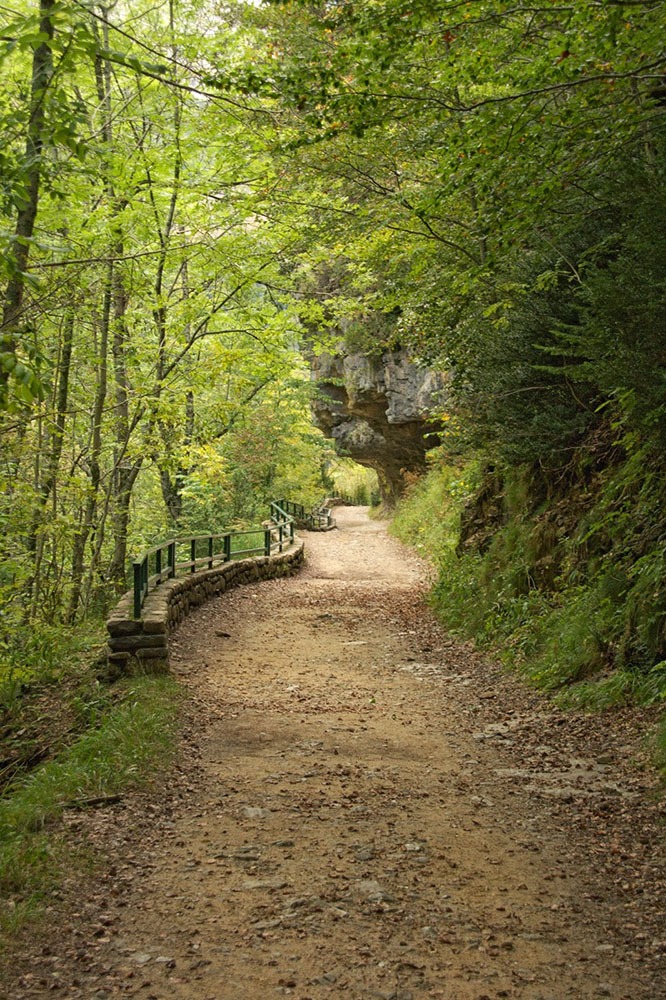
From there we will go through the north cordal to a pass that, already in descent, will take us to the path that leads to the Way of the Carpin and the Scale until Bridge of the Navarros, then walk back to Torla by the side of River Ara.

Distance: 15 km in 4X4, 13 / 14km of walking route.
Duration: 6 / 7h of hiking plus 45min in 4 × 4.
Slope: + 450mts and -1350mts

circular turn otal valley and ordiso trekking
hiking with horsetail guide
hiking valley of otal in bujaruelo
Hiking canon from anisclo to fuen blanca
hiking horsetail valley ordesa

Ratings

No reviews yet

Post a rating